What is AIS?
Automatic Identification System, or AIS for short, is a tracking system used on ships to help prevent collisions and improve maritime safety. AIS technology is an older technology that operates within the VHF radio band. It was introduced to prevent collisions among large vessels at sea, especially when they are outside the range of shore-based systems.
From 2002, the International Maritime Organization (IMO) Convention for the Safety Of Life At Sea (SOLAS) made it mandatory for all vessels over 300 GT trading in international waters, and for all passenger ships regardless of size, to carry AIS Class A equipment onboard.
How does AIS work?
- Transmission from Ships: Ships are equipped with AIS transceivers that send out information about the ship, such as its position, speed, and course.
- Data Capture: These signals are picked up by ground stations along coastlines or by satellites in space.
- Data Aggregation: The collected data is then gathered and processed by organizations that specialize in maritime information. They turn the raw data into useful information.
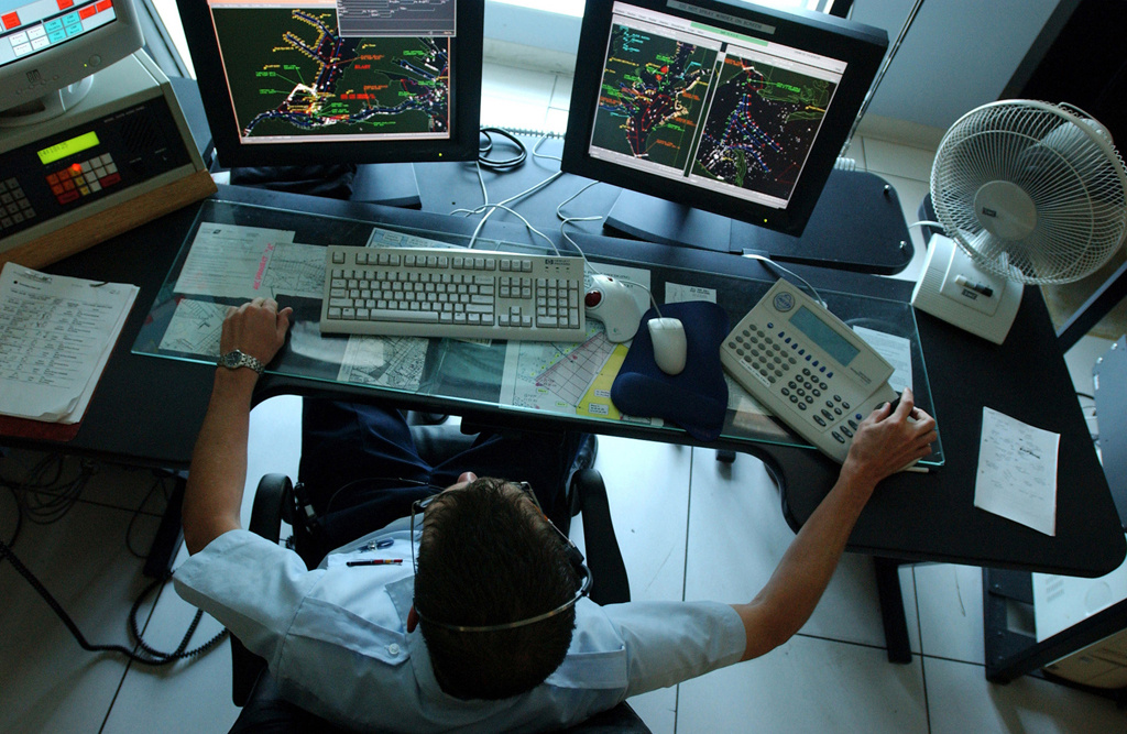
- Data Analysis: Finally, users of AIS data, such as shipping companies and maritime authorities, analyze this information to monitor ship movements, enhance navigation safety, and manage maritime traffic.
AIS is crucial for ensuring that ships can navigate safely and efficiently, reducing the risk of accidents at sea. When a ship turns off its AIS, it often indicates bad intentions. This is typically done to hide activities such as illegal fishing, smuggling or piracy.
AIS Messages
To understand AIS, we need to know about the different types of AIS messages. These messages can be categorized into three main types: static information, dynamic information, and voyage-related information.
- Static Information: This includes details that do not change often: MMSI number, IMO number, name and call sign, length and beam, type of ship, location of position fixing antenna
- Dynamic Information: This type of information is crucial for analysis as it captures the ship’s movements: ship's position with accuracy indication, position timestamp (in UTC), course over ground (COG)
- Voyage-Related Information: This includes details about the ship’s journey, such as its destination, estimated time of arrival, and draft. Those properties are entered/changed manually by the crew. Therefore, information might be provided in an unstructured way.
All of this information is captured by AIS receivers and then aggregated, as described earlier, to provide a comprehensive picture of maritime traffic.
How to Get AIS Data
So, we know that AIS is used to track ship movements. But how can we get this data?
AIS works by sending out radio signals. These signals can be captured by individuals if they have the right equipment. There are two main ways to capture AIS data:
- Satellite Networks: Satellites capture the movements of ships on the open seas.
- Terrestrial Receivers: These receivers, which have a range of about 40 nautical miles, capture the movements of ships as they come in and out of ports.
There are several data providers that offer AIS data. These can be commercial companies, community groups, port authorities, or coast guards. For example, coast guards in many countries capture these signals and may make the data available.
Choosing a data provider depends on your needs:
- If you want to analyze global ship movements, it’s better to use commercial solutions that offer global coverage.
- If you want to focus on specific areas in your country, you might use data from port authorities or coast guards.
AIS signals are encoded, and decoding and cleansing of data is usually done by data aggregators. This is one reason why many people use data from commercial entities, as they validate and clean the datasets.
Data aggregators often exchange data among themselves. For example, a satellite provider might share information with a terrestrial provider, and vice versa. This ensures comprehensive coverage and reliable data services.
Use Case: Combining Vessel Tracking with Container Tracking
Combining vessel tracking with container tracking provides a powerful tool for visualizing and managing freight and cargo. This integration allows for a real-time experience, enhancing the tracking and management of freight containers using static, dynamic, and voyage-specific information.
Benefits
- Real-Time Monitoring: Users can monitor the location and status of both vessels and containers in real time, improving the efficiency and reliability of the supply chain.
- Enhanced Decision Making: Access to detailed and up-to-date information helps in making informed decisions regarding logistics and transportation.
- Improved Safety and Security: Tracking both ships and containers helps in identifying and mitigating risks, such as delays, theft, or loss of cargo.
This combined tracking system is particularly useful for shipping companies, logistics providers, and port authorities, enabling them to optimize operations and ensure timely delivery of goods.
Wikipedia :: UN BigData
Image by Wikimedia Commons, public domain